About
Earth from Space
Earth from Space
April 22, 2020 marks 50 years of celebrating Earth Day. A day set aside to both appreciate the marvelous planet we live on and also reflect on past and present research, exploration and missions dedicated to better understanding Earth that NASA and partners are working on.
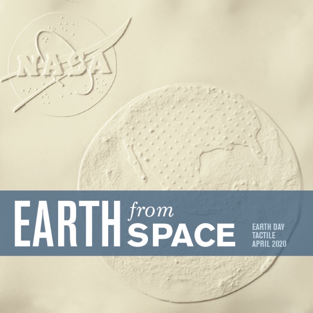
The accompanying plastic sheet is called a "tactile" and represents a satellite view of Earth. Although we "see" in such a narrow band of the marvelous electromagnetic spectrum, we can also explore the Earth, our solar system and universe through a variety of other ways. Take time to explore this tactile with your sense of touch. You are now participating in a form of "haptic" exploration.
Using various materials, NASA and the Solar System Exploration Research Virtual Institute (SSERVI) created this resource for you to explore haptically.
Start by tracing around the Earth. This defines the visible horizon of the Earth when viewed from space. The actual planet would come out of the plane of the tactile like half of a soccer ball. The back side of the Earth is not visible until it rotates into view. This view is from space and the center of the tactile is about 18⁰ north latitude and 116⁰ west longitude (for actual representation go to Earth from space).
As you continue to explore, notice a continent marked by evenly spaced bumps. Can you tell which continent this is? Just a small portion of South America can be found at about the four o'clock position.
The countries of Mexico and the United States are positioned throughout most of the middle and upper region of the tactile. Can you find Mexico? How about the Mexican state Baja California? What about Florida in the United States?
Besides the North American continent shown, you will also notice rough areas throughout the rest of the globe. Those rough regions represent clouds covering a large portion of the lower half and central region of the Earth. Below those clouds and the remainder of the tactile represent ocean basins. The Gulf of Mexico and Pacific Ocean are most prominent on this tactile.
In the upper left-hand corner, a tactile logo reminds us of the valuable investment NASA has made and continues to make in the areas of Earth and space science. Even in the midst of social distancing you have the opportunity to explore visually and haptically our wonderful planet we find ourselves on.
Dr. David Hurd
Edinboro University of Pennsylvania
Dr. Cass Runyon
College of Charleston