TACTILE ONE: A face on Mars
Tactile one depicts one side of the round orb that orbits the sun at
about 228,000,000 km from our Sun. As you move your fingers around the
planet, first explore the rim that runs around the planet and defines
the visible horizon of the round orb seen in the sky. The actual
planet would come out of the plane of the tactile like half of a
soccer ball. The back side of the soccer ball is not visible unless it
rotates into view.
Mars is similar to Earth in many ways; however, many of its features
are much larger than similar features on Earth. As you continue to
explore the surface of Mars, you will notice a long groove running
left and right, just below the middle of the tactile. This canyon on
Mars is called Valles Marineris. If Valles Marineris were placed on
Earth, it would dwarf the size of the Grand Canyon and would stretch
from the east coast to the west coast of the United States!
On the left side, about two finger widths from the end of Mariner
Valley, notice a sharp bump. This bump represents one of three large
shield volcanoes. The other two volcanoes can be found above the
first, each separated by about two finger widths. These are known as
the Tharsis Montes. Further around the rim of Mars, or to the west of
the top volcano and out of view, is Olympus Mons, the “Mount Everest”
of Mars.
At the top of the tactile, you will notice a raised area similar in
texture to the volcanoes. This region represents a polar ice cap near
Mars’ north pole.
TACTILE TWO: Mars at 180°
This second tactile reveals Mars at 180 degrees longitude. We have
rotated Mars to the right about 120 degrees from the first tactile.
Therefore, the three Tharsis volcanoes that were found on the left
side of tactile one are now on the right side of this one. Also note
that the volcanoes are more to scale and appear closer together than
on the previous tactile.
Starting in the lower right-hand corner, find the label for the
Tharsis Montes. Montes (singular Mons) is the Latin word for
mountains. Follow the guide line to the bump representing the middle
volcano which is part of the Tharsis region on Mars. Just below and to
the left, and above and to the right are two other shield volcanoes.
These volcanoes range in height from 18 km to 14 km, respectively. For
comparison, the highest volcano on Earth is about 9 km and Mount
Everest is only about 8 km (5 miles) high.
Now find the upper right-hand label for Olympus Mons. Follow the guide
line to the bump representing the volcano Olympus Mons. How does it
compare to the three volcanoes just explored? Olympus Mons is the
largest known volcano in our solar system and rises about 21 km (14
miles)!
Further west, or to the left, of Olympus Mons is Elysium Planitia
which is home to three more volcanoes. They are labeled in the upper
left-hand corner of this tactile. Ranging in height from 14 to 5 km,
they are smaller than those found in the Tharsis region. These
volcanoes can be used as a guide to find Gale Crater. Using the two
upper volcanoes, strike a straight line down through them until you
reach a rough portion of Mars. Gale Crater is found just to the right,
or east. In the center of Gale Crater, you will easily feel the peak
of Mount Sharp.
TACTILE THREE: Gale Crater
Tactile three shows two views of the crater Gale where Curiosity is
exploring. The top view represents a bird’s-eye view from high above
the crater. It would be how the crater would appear if you were
soaring high above the crater looking down into it.
The second view on the bottom right of the page is a cross-section
view of Gale. Imagine this … if you slice an apple into two pieces and
then observe the peel, edible part, and core; that would be the
equivalent of a cross-sectional view of an apple. That is the same
idea of what the bottom tactile represents … the view of the crater
from the side including what’s above ground and what’s below ground.
Feel the top bird’s-eye view. Start from the left-hand side and trace
your finger around the rim of the crater. Sighted assistance may help
you determine the rim of the crater. On the tactile, the rim is about
10 cm across. If each cm on the tactile is approximately 15 km on
Mars, what is the diameter of Gale Crater? In the middle of the
crater, notice the odd shaped mound which is very prominent in Gale.
Now explore the bottom tactile representing the cross-section.
Starting on the far left, trace your finger along the surface of Mars
and notice that your finger eventually falls down onto the crater
floor. Continue to trace your finger from left to right, and you will
soon encounter a central mound, recently named Mount Sharp. After
Mount Sharp, your finger will then fall back onto the crater floor and
up the rim on the right side of the tactile, which then slopes off to
the right. Go back to the central peak and explore it compared to the
crater rim. Central peaks are not uncommon to craters as large as
Gale, but what makes this one unique is that it is higher than the
surrounding rim of the crater. Gale Crater has a central uplift area
that is 5 km (3 miles) high! Central peaks form by the rebound of
rocks that were highly compressed at the point of impact. However,
these peaks do not exceed the height of the crater rims. So, how can
Gale Crater sport a central peak higher than the crater rims? The
following tactile illustrates how a central peak could end up being
higher than the rim.
TACTILE FOUR: Evolution of central peak
Tactile four consists of three idealized diagrams representing the
geologic history of a central peak similar to the one in Gale.
Starting with the top diagram, trace your finger from left to right
across the crater and notice how the surface sinks to the floor of the
crater and then up the right side to the surface again.
The second diagram represents the same crater that has been filled
with various layers of sediments. Each horizontal “layer” represents
many different periods of sedimentation over time.
The third diagram represents the same crater after a long period of
erosion of the existing layers of sediments. Notice how the central
uplift is indeed now higher than the surrounding crater rim. Notice
also the gaps on the right and left side of the central uplift that
show the absence of the eroded sediments. It is likely that Gale
Crater has experienced a similar history. Since Gale Crater is so old,
compared to many of the other craters on Mars, it would have had time
to experience this geologic evolution. If this is the case with Gale
Crater, the rover Curiosity will be perfectly situated to explore the
geologic history of the region through the exposed layers.
For more detailed tactile information on cratering and crater types,
please see: “Getting a Feel for Lunar Craters” NP-2011-05-733-HQ.
TACTILE FIVE: Curiosity
Tactile five depicts a side view of the rover whose name is Curiosity.
Curiosity is the largest rover ever sent to explore another planet.
The small car-sized rover has many instruments on board to help
scientists study Gale Crater. Starting in the lower right-hand corner,
find the word “wheel” and follow the line to one of the wheels of
Curiosity. Two other wheels are found to the right of the labeled
wheel. Two more wheels can be found to the left of the labeled wheel.
Curiosity has six wheels in all, of which only five can be detected on
this tactile. Can you find five wheels? The other would be hidden from
view by the body of the rover. The body of Curiosity and some of its
accompanying instruments are found above those wheels and are labeled
for your exploration.
Many instruments are being used to look at the geology, chemistry,
atmosphere, and environmental conditions on Mars. These instruments
provide scientists with a better picture of both the current and past
conditions on Mars. The instruments include several cameras, four
spectrometers, two radiation detectors, and environmental and
atmospheric instruments mounted on Curiosity.
The cameras allow scientists to chart future directions for Curiosity
and also to obtain close-up views of the exciting rocks and soils in
Gale Crater, such as the rock named Jake. The spectrometers use some
form of radiation on what is called the electromagnetic spectrum to
help scientists discover the composition of rocks. Combining the use
of sophisticated cameras and spectrometers assist in piecing together
the geologic history of this region of Mars.
The next tactile is an image of Mount Sharp taken by Curiosity.
TACTILE SIX: Mount Sharp as seen by Curiosity
Starting in the upper right-hand corner, find the Braille label for
Mount Sharp. Follow the guide line down onto the tactile until you
reach the ridge line of Mount Sharp. Follow the ridge line to the
right and to the left and notice that the mountain trails off down to
the left to the crater floor. Notice also that at the base of Mount
Sharp there is a line that runs horizontally. That line represents
darker sediment as seen by Curiosity and is probably a dune field of
windblown sediment.
In the lower left-hand corner, find the Braille label for the robotic
arm and follow the guide line onto the tactile until you reach the
robotic arm. Notice that it extends up to a join and then over to the
instrument suite on the arm. This is in the foreground of the pictures
and is virtually right at where the cameras are that took the picture.
Mount Sharp and the area explored earlier are several kilometers from
the rover. The rough area to the right and left of the robotic are
represent the various sized gravel found in the region where Curiosity
landed and took the picture. Some of the rocks have been analyzed
using the instrument called ChemCam which uses laser pulses to
vaporize the rock and a spectrometer to determine the composition.
TACTILE SEVEN: Conglomerate on Mars
This tactile represents a view of the ground at an outcrop of rock
called “Link.” This outcrop is significant because it represents a
rock known as a conglomerate with small rounded gravel that has been
cemented together with mud and clay. Many of the gravel – sized rocks
have eroded out of the rock and can be found in the tactile. Starting
in the lower left-hand corner or upper right-hand corner, find the
Braille label for “Parent Rock”. Follow the guidelines onto the
tactile and notice the texture of these rocks. They are fairly smooth
and uniform. In between the parent rocks you can find a lot of smaller
bumps that represent the small gravel that have eroded out of the
parent rock and are now lying on the ground near the parent rocks.
These further strengthen the argument that there was once running
water on Mars. For further explanation and information please see:
nasa.gov/mars
(keyword: Curiosity)
With all six wheels on the ground, the robotic rover, Curiosity, will
continue to explore the red planet for years to come. NASA’s other
current and future missions will also continue to enlighten us and
help unlock the mysteries of this marvelous planet and provide more
information about the planet we call home.
nasa.gov/mission_pages/maven/main
nasa.gov/mission_pages/insight/main/
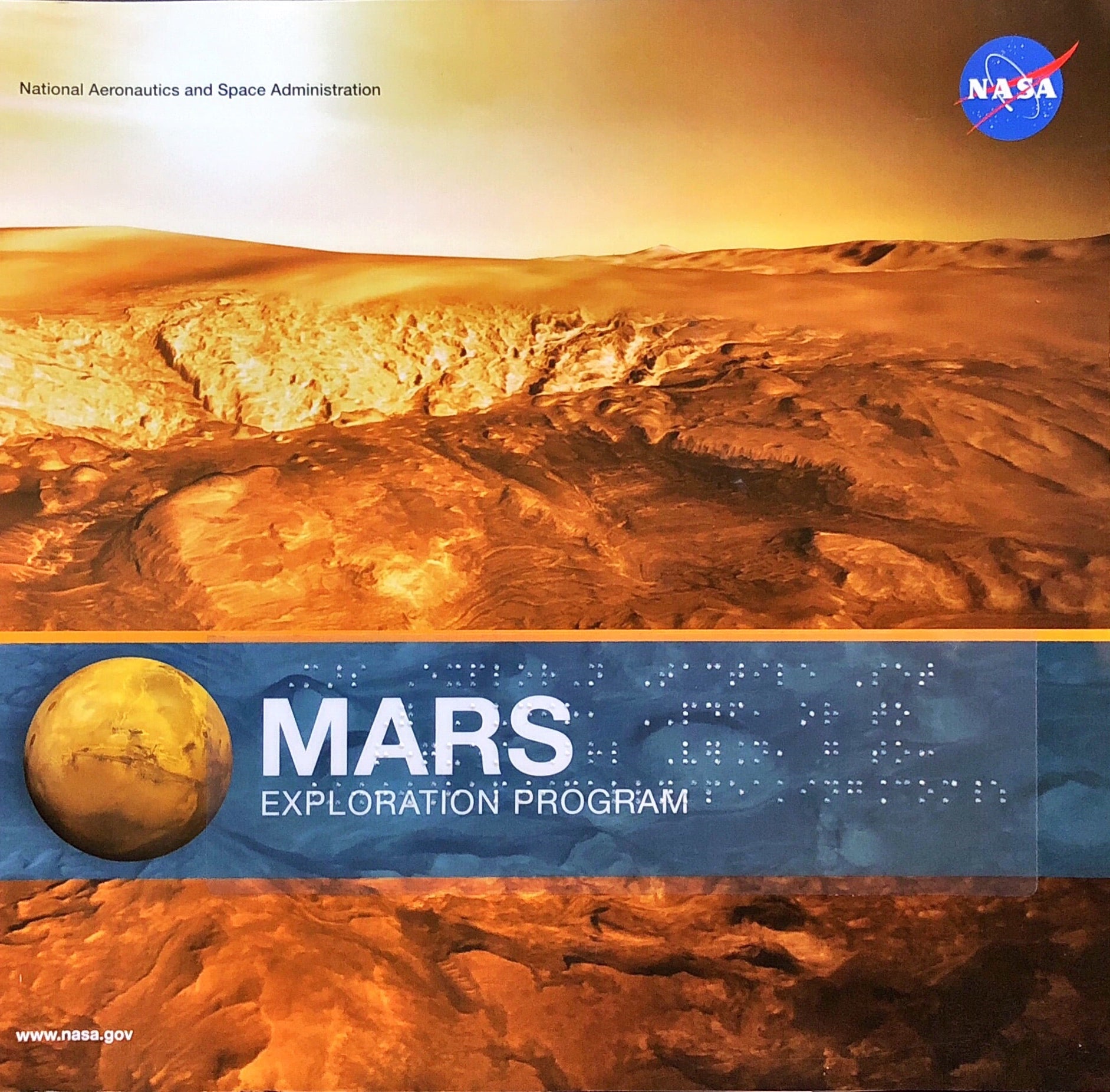
Published July 2012 and updated January 2013, this book is intended
for users of all ages with particular support to those who are Blind
and/or visually impaired.
Support for this book comes from NASA Headquarters and the NASA Solar
System Exploration Research Virtual Institute (SSERVI).